Skip to content
VINICUNCA
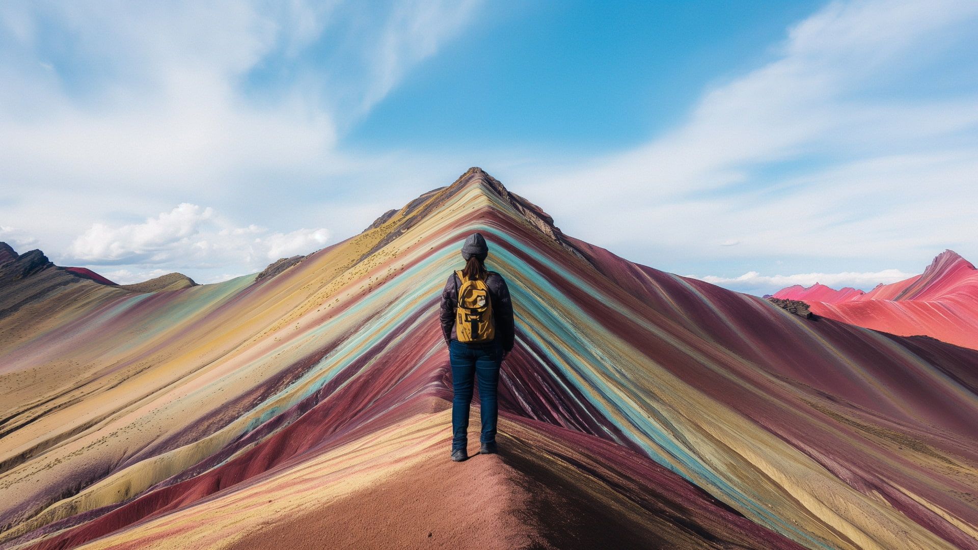
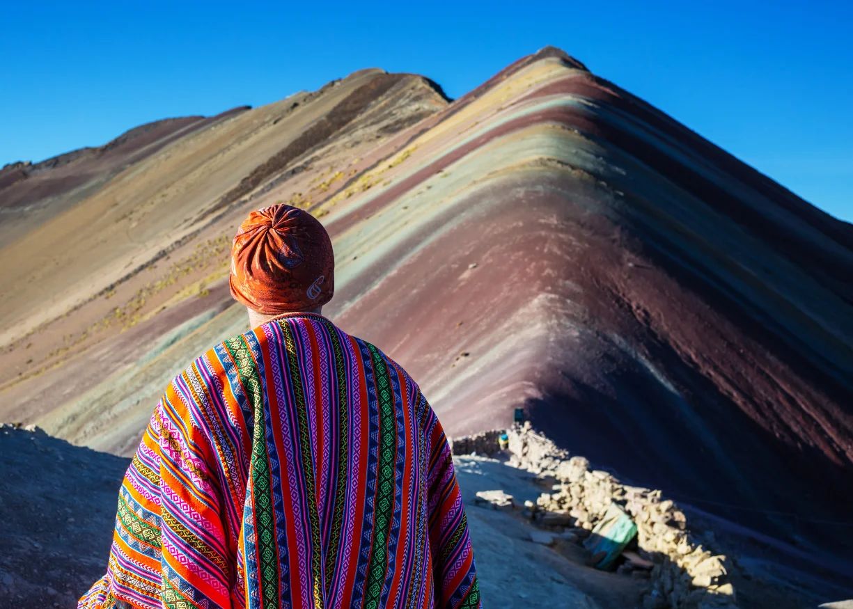
Traveler overlooking Vinicunca Rainbow Mountain at 5,036m and Red Valley in the background without crowds in Cusco
PLANNING GUIDE & DIRECT LOCAL OPERATOR IN CUSCO

Explore the Real Rainbow Mountain

Verified GPS elevation telemetry, live summit weather, honest route comparisons, and direct small-group expeditions to Vinicunca, Red Valley, Palccoyo & Pallay Punchu.

5,036m Verified GPS Summit
Unfiltered Trail Reality

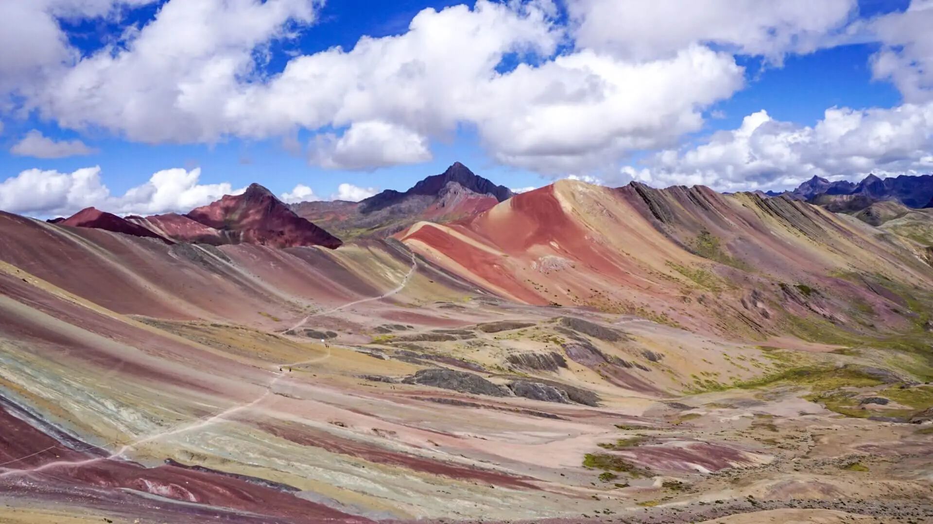
Discover authentic mineral colors and empty ridges across Vilcanota’s natural landscapes without fake filters.

Unedited dry-season shot arriving at 07:15 AM: authentic earthy mineral pastels and an unobstructed ridge.

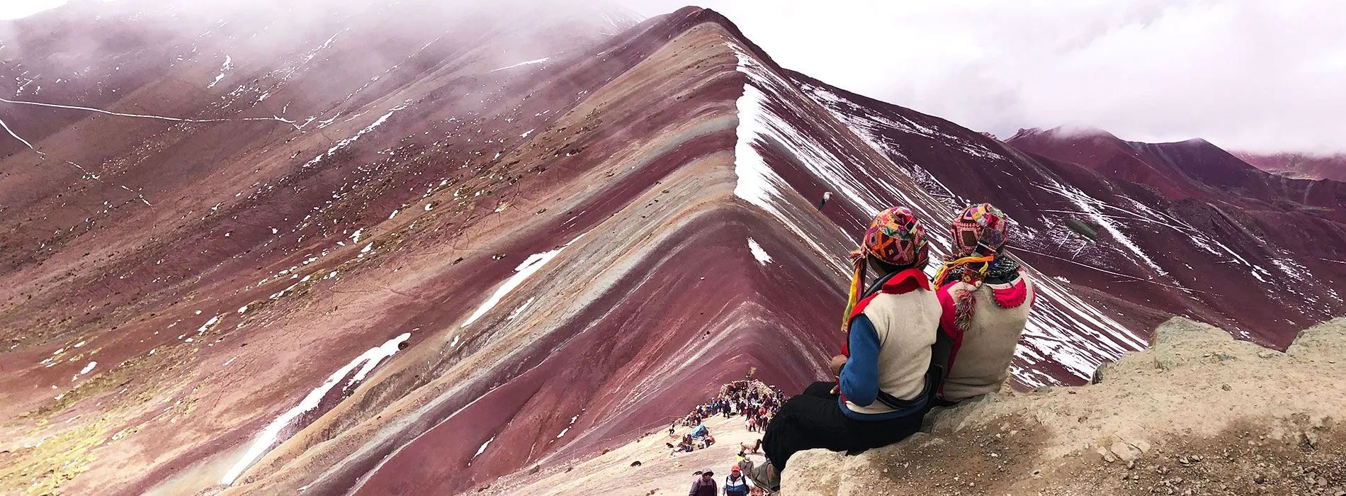
Traveler wearing traditional Andean poncho at the empty Vinicunca summit at 07:15 AM with the first departure group

See real moments from our 07:15 AM trips.

↗
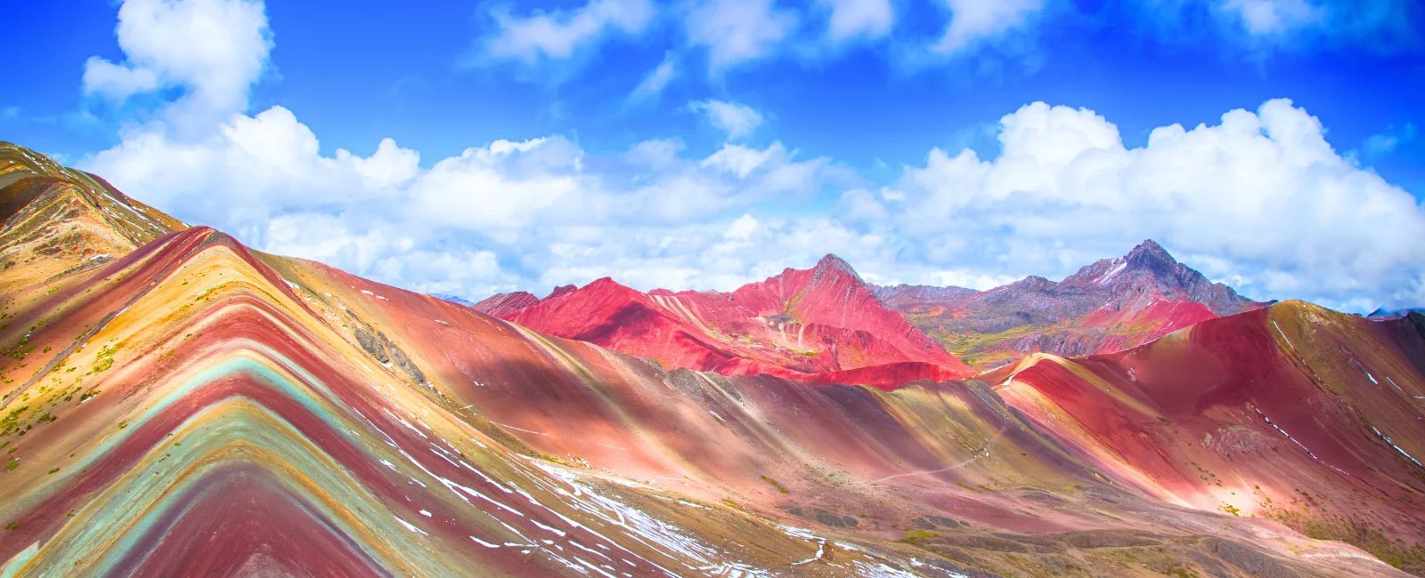
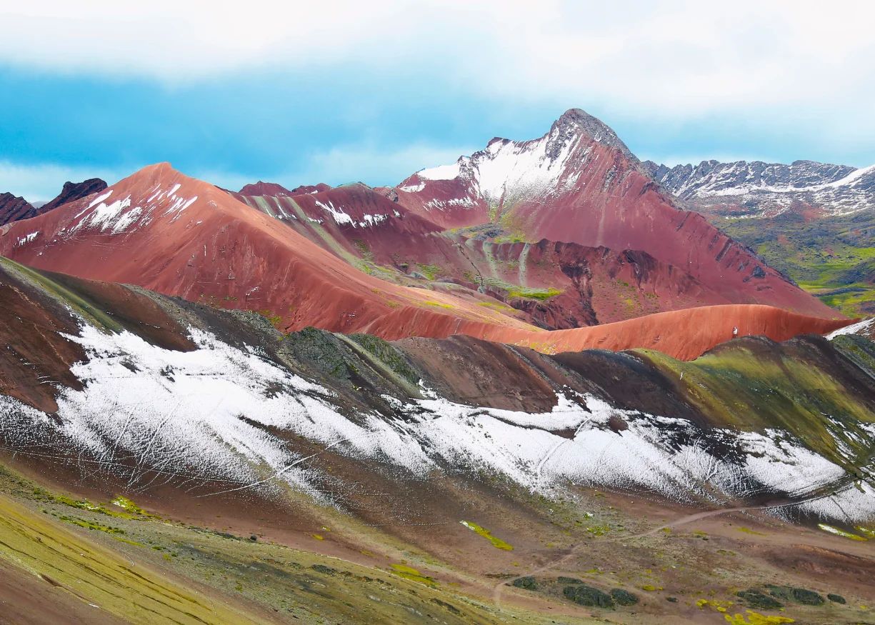
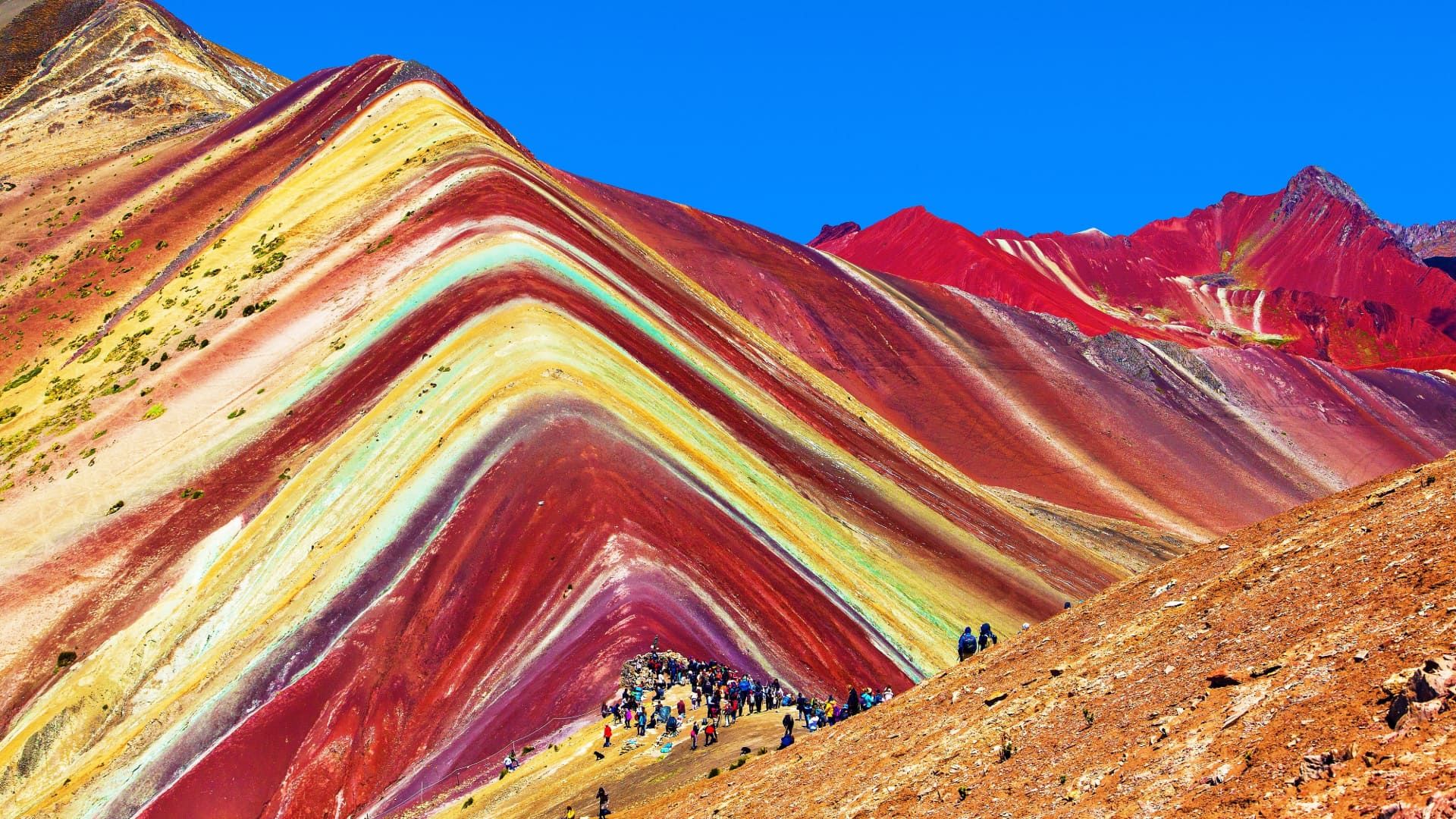
Wide panoramic view connecting Vinicunca multicolor mineral layers with the crimson peaks of Red Valley Red Valley 5,050m

Our Transparent Weather & Reschedule Guarantee

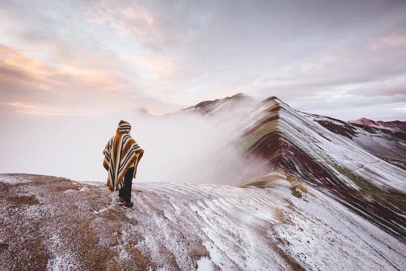
If high-mountain radar warns of heavy whiteout snow hiding the mineral colors, we proactively offer free date rescheduling or a switch to Palccoyo.

DIRECT LOCAL OPERATION • ZERO 40% OTA MARKUPS

Specialized Vinicunca & Rainbow Range Expeditions

Every expedition includes official community entrance tickets, hot Andean meals, trekking poles, pulse oximeters, and emergency medical oxygen.

VERIFIED ANDEAN GEOLOGY • VILCANOTA CORDILLERA

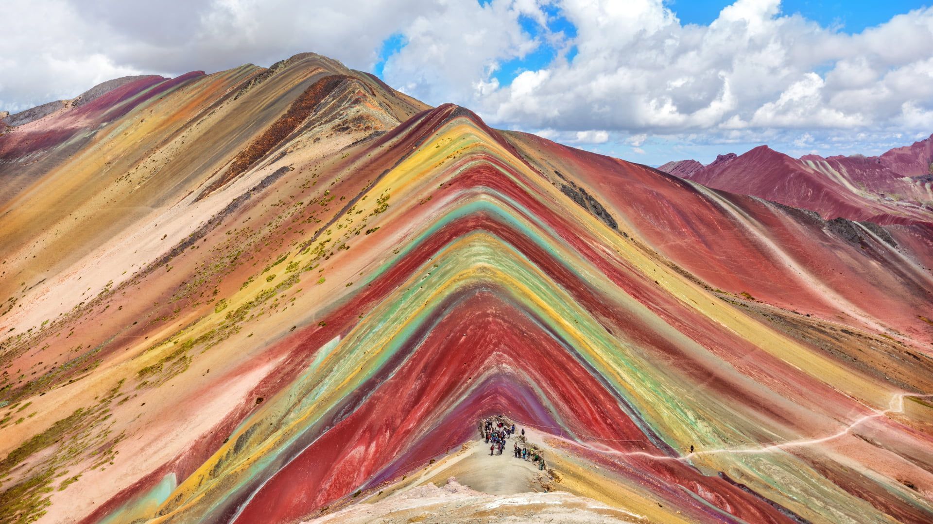
Why does Vinicunca display 7 natural mineral colors?

Exposed over recent decades by glacial retreat, these vibrant bands are 24-million-year-old marine and sandstone sediments uplifted by Andean tectonics.

Crimson Red & Pink

Ferric Iron Oxide Claystones

Weathering of iron-rich continental clay deposits.

Andean Turquoise Green

Phyllites & Ferromagnesian Chlorite

Ancient marine clays rich in magnesium and copper oxides.

Mustard Gold & Yellow

Sulfurous Calcareous Sandstone

Limonite combined with sulfur-bearing sandstone strata.

Lavender Purple & Ochre

Carbonate Marls & Siltstones

Oxidized silicates blended with calcium carbonate.

Vilcanota range geology showcasing iron oxide, turquoise chlorite and golden sulfur sandstone sediments 🇵🇪 Cordillera Vilcanota 24M Años • 5,036 m
EXPEDITION TELEMETRY • HOUR BY HOUR

Interactive Elevation Profile: Cusco (3,399m) to Summit (5,036m)

Contrary to outdated blogs repeating "5,200m", the official Vinicunca viewpoint sits at 5,036m (16,522 ft). Click each waypoint for temperature and oxygen metrics.

Select any ascent stage below to inspect technical metrics: ● Pulse oximetry monitored at every stage
5036m 4630m 3399m 3399m 03:30 AM 3310m 05:15 AM 4630m 06:15 AM 5036m 07:15 AM 5050m 08:15 AM 3310m 11:30 AM
07:15 AM

Vinicunca Summit

5036 m
TEMP. ESTIMADA -3°C to 8°C
SATURACIÓN SpO₂ 78% – 84%

Crowd-free summit photography 2 hours before peak bus traffic.

Traveler wearing traditional Andean poncho at the empty Vinicunca summit at 07:15 AM with the first departure group

Vinicunca Summit Viewpoint

5,036 m

Official 5,036m GPS viewpoint overlooking all 7 mineral strata and Ausangate glacier.

1.5h caminata • Cusipata
Vilcanota Corridor Map

Explore Scenic Viewpoints & Valleys on Map

Verified Scenic Spots

COMPLETE RAINBOW MOUNTAIN ECOSYSTEM COMPARATOR

Which of Cusco’s 4 Rainbow Mountain Routes Fits You Best?

Use our medical acclimatization recommender or compare verified trail stats side-by-side before choosing your expedition.

Quick Acclimatization Check: How many days have you spent in Cusco (3,399m)?

Choose your current acclimatization stage:

O₂

You are ready! Book Vinicunca + Red Valley First Group (03:30 AM) to experience the iconic 5,036m summit crowd-free.

Route / Mountain Max Altitude Round-Trip Walk Difficulty Crowd Level Ideal For Book
Vinicunca + Red Valley (1st Group) Ideal
5,036 m 7 km (2.5–3h total) Moderate - High Low at 07:15 AM Iconic bucket-list summit with 2+ days acclimatized
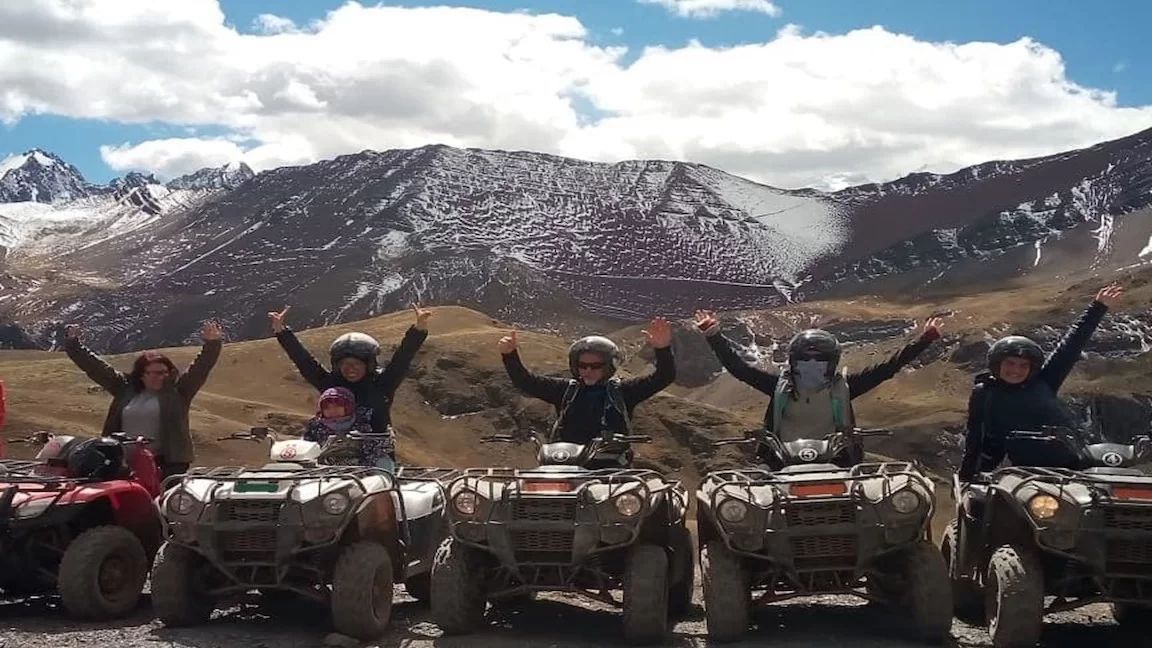
Vinicunca by ATV Quad Bike
5,036 m 1.2 km (25 min) Easy - Moderate Quiet side valley Saving breath at 5,000m + quad adventure
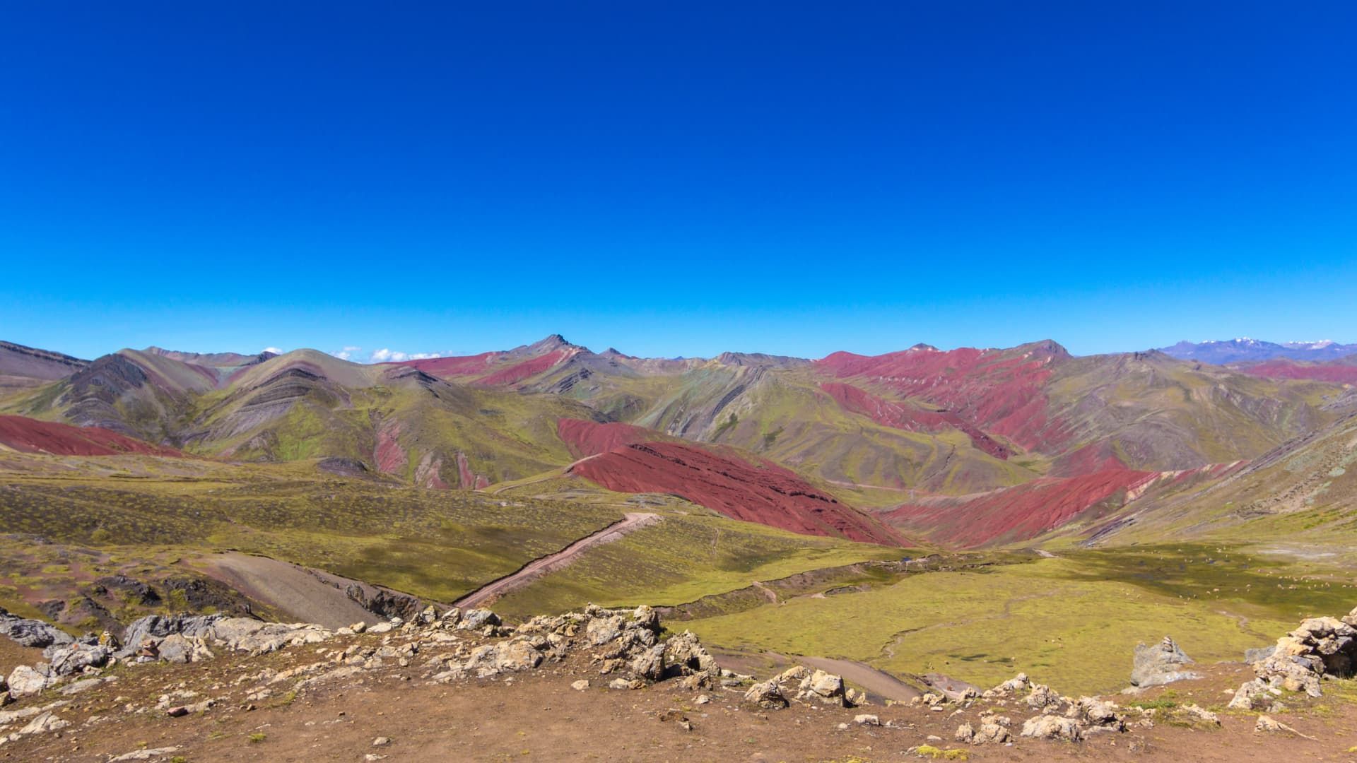
Palccoyo Range (3 Rainbow Peaks)
4,900 m 2 km (45 min flat) Easy Very Low (<10%) Families, seniors, or Day 1–2 in Cusco
Pallay Punchu del Apu T’acllo
4,791 m 5 km (2.5h total) Moderate Zero (Hidden gem) Photographers & off-the-beaten-path explorers
PRACTICAL HIGH-ALTITUDE TOOLS

Trail Cash Calculator (Peruvian Soles) & 5,036m Packing Checklist

There are zero ATMs or card terminals at 4,630m. Calculate exact Peruvian Soles (PEN) cash for optional community add-ons and save your packing progress.

S/ PEN • Efectivo en Ruta

How much Peruvian Soles (S/) cash should I carry in my pocket?

Even with your all-inclusive tour paid online via Izipay, local Quechua checkpoints only accept cash in Soles for extras:

Traveler residency (for community checkpoint rules):
Recommended pocket cash per person:
S/ 50 ≈ US$ 14

Note: Your main Vinicunca entrance ticket is ALREADY included in our tours. Carry small S/ 10 and S/ 20 bills for optional local extras.

5,036 m Checklist

5,036m Summit Packing Checklist (Auto-saved in browser)

Check off each essential the night before your 03:30 AM Cusco pickup:

0 / 6 0%

Why direct licensed operation matters above 5,000 meters

Saving $10 on an unlicensed street reseller without emergency oxygen puts your safety and entire Peru trip at risk.

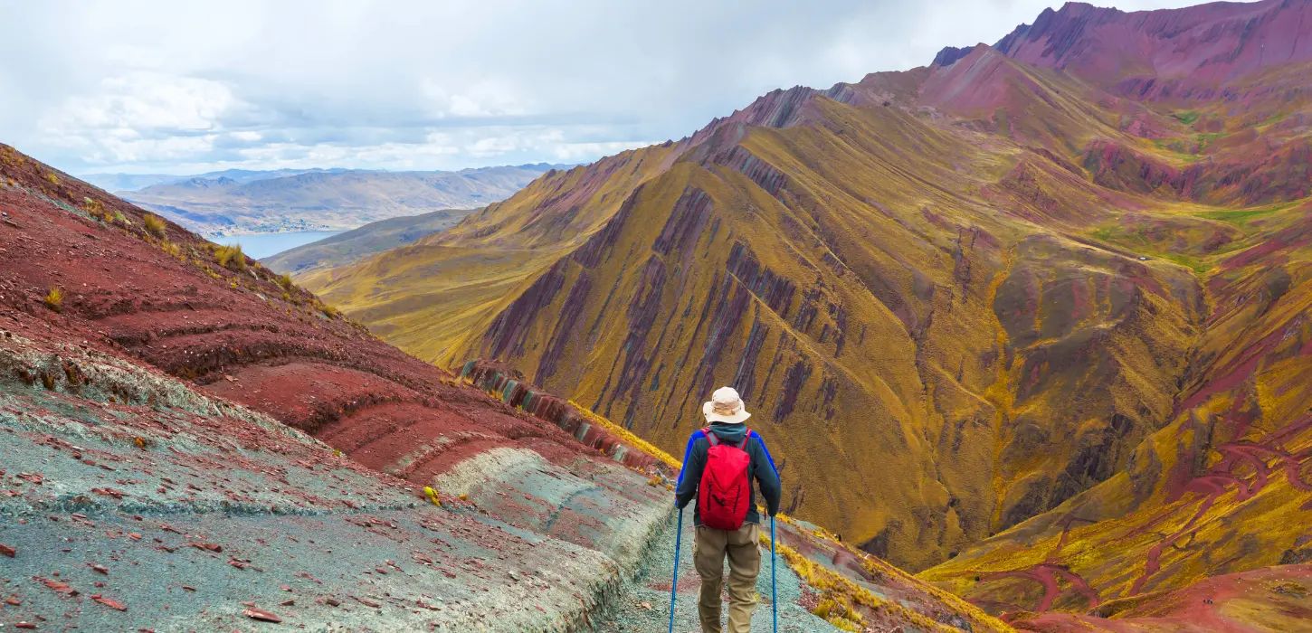
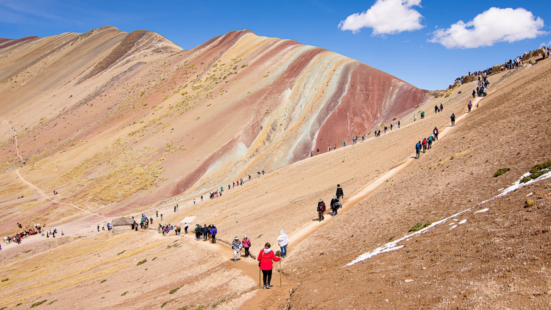
Official hiking trail via Cusipata and Phulawasipata ascending toward the Rainbow Mountain viewpoint
WFR Certified

High-Flow Medical Oxygen & Oximeters

Every vehicle and guide carries a certified medical oxygen cylinder, sterile masks, and pulse oximeters for proactive SpO₂ checks.

Cusco • Protocolo Verificado 2026
Quechua children wearing handwoven traditional chullos in Chillihuani overlooking Vinicunca Rainbow Mountain
Fair Trade

Direct Quechua Community Partnership

We partner directly with families in Chillihuani, Cusipata, and Pitumarca, ensuring fair horseman wages and animal welfare.

Cusco • Protocolo Verificado 2026
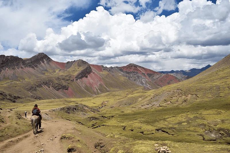
Assisted horseback ride operated by local community horsemen along the Andean valley trail to Vinicunca
3D-Secure

Local Operator + Izipay Encrypted Checkout

Book directly with our Cusco team, with instant 3D-Secure card checkout powered by Izipay.

Cusco • Protocolo Verificado 2026
VERIFIED FREQUENTLY ASKED QUESTIONS

Everything you need to know before hiking Rainbow Mountain

Accurate, up-to-date answers to the top questions travelers ask before visiting Vinicunca.

What is the true altitude of Rainbow Mountain (Vinicunca)?

The official Vinicunca viewpoint stands at exactly 5,036 meters (16,522 feet) above sea level according to geodesic GPS—not 5,200m as outdated websites repeat. The Cusipata/Phulawasipata trailhead starts at 4,630m.

How many days should I acclimatize in Cusco before hiking Vinicunca?

We strongly recommend at least 2 full days acclimatizing in Cusco (3,399m) or the Sacred Valley. If you only have 1 day, choose Palccoyo (4,900m, gentle 45-min walk) or our Vinicunca ATV Quad Tour.

Can you visit Rainbow Mountain Peru independently without a tour?

Yes—contrary to feeder websites falsely claiming independent entry is banned, you can enter by paying the community fee at the gate. However, there is no direct public bus to the 4,630m trailhead, and private taxis cost S/ 350–450 round-trip without emergency oxygen or meals.

When is the best season and departure time to beat the crowds?

May through October is the prime dry season with crisp blue skies. November to March brings afternoon rain and occasional overnight snow. Departing Cusco at 03:30 AM puts you on the summit at ~07:15 AM, two hours ahead of peak crowds.

How do community horse rentals work on the trail?

Local Quechua horsemen rent horses directly at the trailhead for ~S/ 90 one-way in cash. Horses carry riders up to 15–20 minutes below the final steep summit ridge, which must be walked on foot.

How does Izipay online booking and flexible cancellation work?

Confirm instantly by paying 100% or a 30% deposit via Izipay (Visa, Mastercard, Amex, Diners). Enjoy free date changes or cancellation up to 48 hours prior to departure.